
North Huntingdon Township ZIP Delivery Coverage
North Huntingdon Township has more than one postal label in address research. The strongest local evidence supports 15642 and 15647 directly. Other ZIP codes in the table are community or edge delivery leads that need a street-specific Postal Service check. A ZIP is a delivery route, not a municipal line, so the table does not identify every address within a Township boundary or promise a ZIP-wide resident count.
| Postal code | Area or postal relationship | Local records note |
|---|---|---|
| 15642 | Irwin delivery ZIP; North Huntingdon is an accepted locality and Township headquarters uses North Huntingdon, PA 15642. | Core Township ZIP in official local contacts; the 1974 change retained this ZIP. |
| 15647 | Larimer postal locality. | The Township tax collector’s county listing uses a Larimer P.O. Box; confirm any street through USPS. |
| 15692 | Westmoreland City postal locality. | Westmoreland City is a Township community; verify each address with USPS. |
| 15678 | Rillton postal locality. | Reported Township edge or community delivery area; USPS confirmation is required. |
| 15665 | Manor postal locality. | Township-adjacent or edge delivery lead; verify the specific street. |
| 15615 | Ardara postal locality. | Township-edge delivery lead; verify the specific street. |
Research did not establish authoritative coverage for 15018, 15085, 15131, or 15137. They should not be presented as North Huntingdon Township postal coverage without a direct USPS result for an address. No official ZIP split year, ZIP-specific population total, or ZIP-wide voter total was found.
Verify North Huntingdon Township ZIP Codes
The USPS ZIP Code Lookup is the final delivery verifier for a particular North Huntingdon Township street address. Enter the standardized street address and retain the returned ZIP and accepted city name with the search date. A postal city string alone cannot establish whether the physical property is in the Township, Irwin Borough, North Irwin, or another nearby jurisdiction.
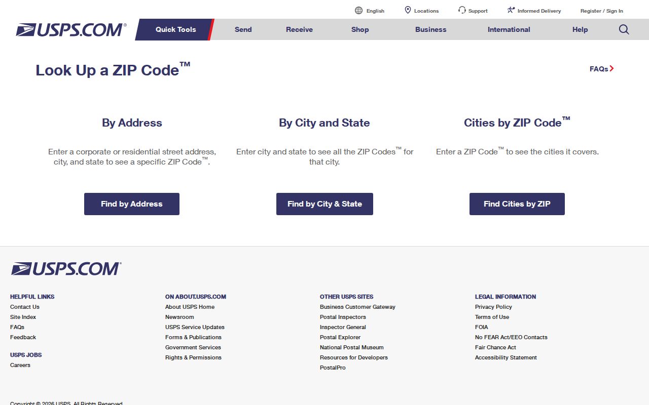
Use the returned delivery result with the county parcel municipality field or GIS map. USPS answers the postal question for an address. The parcel map and county data answer the Township geography question.
North Huntingdon Township ZIP Delivery Tools
No reviewed local portal offers a verified ZIP-wide resident, parcel, or voter result set. The available tools work by exact address, property location text, owner name, parcel, or map position. A ZIP code directory should make that limitation clear before a reader tries to build a broad list from an unsupported filter.
| Tool | ZIP search mode | What actually works |
|---|---|---|
| USPS ZIP Lookup | Yes, address based | Final delivery ZIP and accepted city check for one street address. |
| Westmoreland Real Property Search | No verified ZIP field | Search Location text, owner name, or parcel, then read municipality and property location. |
| Westmoreland GIS | No verified ZIP filter | Navigate by parcel and map context, including road, ward, zoning, flood, or other map layers. |
| Pennsylvania voter status | Not a ZIP browse tool | Individual registration status verification; fuller voter data is controlled by law. |
| Township road index | No ZIP filter | Check a road spelling and map grid, then use USPS and county sources. |
The free county property search accepts a location, owner name, or parcel number. Its location result identifies property context, but it has no verified ZIP field. GIS is likewise parcel and map based, while its linked property or ownership cards are subscription access.
North Huntingdon Township ZIP Delivery Steps
Follow this narrow process when a North Huntingdon Township postal code is part of an address question. It produces an address-specific result and avoids claiming that a whole postal area belongs to one municipal boundary.
- Confirm the street spelling and road context in the Township road index or maps. Use the house number and road name rather than a postal locality alone.
- Search the property location or parcel in Westmoreland’s property portal. Save the displayed situs, municipality, parcel, and tax-record date.
- Check the parcel on the free GIS map when a road approaches a municipal edge or nearby locality.
- Run the standardized address through USPS and save the returned delivery ZIP and accepted city.
- For older material, search both Irwin and North Huntingdon locality labels, then reconcile the result with the parcel or legal description.
Once the ZIP narrows the question to one road or parcel, use the North Huntingdon Township street directory for the fuller address, map, and deed sequence.
North Huntingdon Township Postal Change
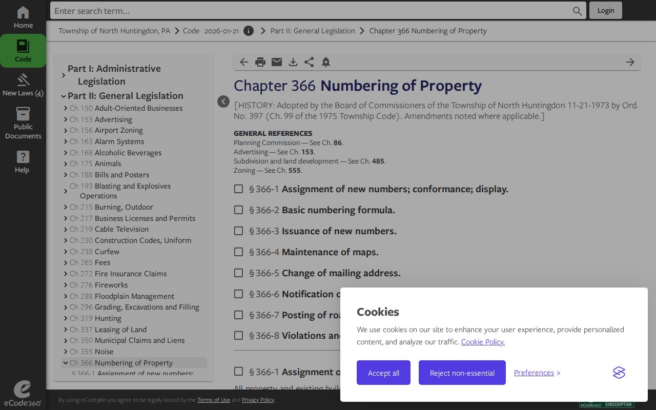
North Huntingdon’s property-numbering rule created a local postal mismatch that matters in archives and current searches. Effective January 1, 1974, residents who had used “Irwin, PA 15642” were directed to use “North Huntingdon, PA 15642.” The five-digit delivery code remained 15642. The ordinance gave residents one calendar year to conform, so a historic item may keep the earlier locality name long after a later county record uses North Huntingdon.
The Township property-numbering ordinance documents this mailing-locality change and the address-assignment framework.
Search both postal forms for older deeds, newspapers, permits, court entries, and directory references. Do not discard an historic Irwin label until the parcel, road, or legal description has been compared.
North Huntingdon Township Address Keys
Postal delivery, county geography, and title records each use a different key. The situs is the physical property location shown in the tax record. The mailing address tells where a tax bill is sent and can be a P.O. Box or another town or state. The legal description ties the parcel to a deed, plan, or lot reference. None of these fields should be substituted for another simply because the delivery code looks familiar.
The Township’s Chapter 366 gives the Joint Postal Address Commission responsibility for notice of new addresses and directs the Code Enforcement Officer to provide location information for accurate map plotting. The official road index and maps help resolve a road’s Township context before a delivery locality is treated as jurisdiction.
North Huntingdon Township ZIP Delivery Context
The North Huntingdon Township home page is the municipal starting point for maps, ordinances, Community Development materials, and local contacts. Township Maps adds road, ward, zoning, mining, flood, and general map references. These tools help place an address, but they do not convert a delivery ZIP into a resident list or a municipal boundary.
For an address-related municipal record, such as a permit report or code file, contact the Township or use a precise RTKL request. NHTMA dye-test and lien-letter requests are also address related, but the authority requires them at least 14 days before a sale or refinance and they are not a directory of customers.
North Huntingdon Township ZIP Address Records
Address-related records can add a dated local fact after the ZIP and municipality have been confirmed. Community Development permit materials use a project address and can include a parcel tax ID, ward, applicant, contractor, category, and project information. Public monthly reports have supplied an address, applicant, contractor, permit type, and project value. They document a connection to a project on a date, not who receives mail or resides at that address. No live Township permit lookup was verified, so the documented channels are the application, public packet, Archive Center, Community Development, or a specific RTKL request.
The North Huntingdon Township Municipal Authority has a separate dye-test and lateral-inspection request or lien-letter process. For a sale or refinance, the request and payment must reach NHTMA at least 14 days before closing. This is an address-specific utility process, not a resident directory and not proof of ownership or occupancy. Keep it separate from USPS delivery verification, county parcel evidence, and recorded land records.
North Huntingdon Township Postal Evidence
When an address appears under an unexpected delivery code or postal city, preserve the exact source rather than forcing the name to fit. The property search gives the displayed municipality and situs. GIS shows parcel location and nearby roads. USPS gives delivery ZIP and accepted city information. A deed’s legal description identifies the land through its recorded reference. Together, those four records answer different parts of the same question and create a defensible record log.
This distinction matters on Township edges and in historic material. Westmoreland City is identified as a Township community in the research, while Larimer, Rillton, Manor, and Ardara are postal or edge-area leads requiring address verification. ZIP labels such as those research gaps for 15018, 15085, 15131, and 15137 remain unconfirmed coverage, not evidence to be expanded into a municipal assertion.
North Huntingdon Township ZIP Delivery Limits
A ZIP code directory cannot support a ZIP-wide resident count. No reviewed county or state source publishes an authoritative ZIP-wide household, parcel, or voter result set for North Huntingdon Township. The individual voter tool is not a ZIP browser, and its fuller public-information route requires identification and permitted-use certification. Property-owner data is limited to parcels and tax accounts, while the mailing address is not proof of occupancy.
A delivery label also does not decide municipality. Irwin Borough and North Irwin are distinct municipalities despite overlapping postal naming. Verify the physical location through the county parcel record, GIS, ward map, and the exact USPS result. This protects against a common records-geography error: treating a postal city as a legal boundary.
Address mismatch. A North Huntingdon Township mailing label, an Irwin delivery label, and a Westmoreland County parcel record can all describe different parts of the same address question. Confirm each system separately.
North Huntingdon Township ZIP Delivery Terms
These postal terms explain why an address may look different in a mailing record and a parcel record. They identify delivery structure, not a list of residents.
- ZIP code
- A Postal Service delivery-routing code for an address area. It does not mark a municipal boundary.
- ZIP+4
- An added four-digit delivery segment used to sort mail more precisely than the five-digit ZIP.
- P.O. Box or unique ZIP
- A delivery designation that can be associated with post office boxes or a single organization. It should not be assumed to cover nearby streets.
- Carrier route
- A mail-delivery grouping used operationally by the Postal Service. It is a delivery concept, not a Township district or resident roster.